May 2017
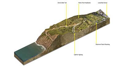
This tutorial will teach you how to create a 3D section cut using 3D satelite imagery from Google Earth, with post-processing done in Photoshop. Software Required: Google...
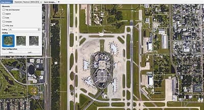
This post has been heavily updated since its original published date of January 1, 2014. High resolution imagery can be used for many purposes, including digital and print...
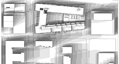
This tutorial will show you how to create a shadow / butterfly diagram with Revit and Photoshop. This uses the same techniques as the SketchUp shadow study tutorial, except...
Navigation
Categories
-
Recent Posts


